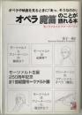
お探しの古書は見つかりましたか?
在庫検索から見つからなかった場合は、書誌(カタログ)からも検索できます。
お探しの古書が登録されていれば、在庫が無い本や条件に合わない本についても、こちらからリクエストを行うことができます。

![]()
文字サイズ

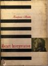
在庫検索から見つからなかった場合は、書誌(カタログ)からも検索できます。
お探しの古書が登録されていれば、在庫が無い本や条件に合わない本についても、こちらからリクエストを行うことができます。


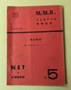
![[台本] 11点 愛の劇場 人生の並木路](https://www.kosho.or.jp/upload/save_image/26040270/10281646_690074ccc485c.jpg)


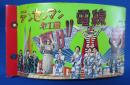
![[台本] 13点 ライオン奥様劇場 夫婦さかさま](https://www.kosho.or.jp/upload/save_image/26040270/10291842_6901e17d52bd1.jpg)

![世界大音楽全集 [第1] 第71 (器楽篇 ギター名曲集)](https://www.kosho.or.jp/upload/save_image/12032620/20181121124849534023_38fa29b3e7d769f37c3f827ebbf37e99.jpg)


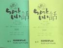
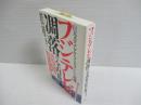
![[118点] 月刊 シナリオ教室 2005・4、6、8~12、2006・1...](https://www.kosho.or.jp/upload/save_image/26040270/20181219141826195895_7498e6c687b2c97076f7aa0da0f83256.jpg)